Overview
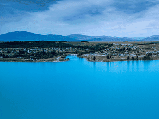
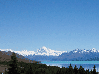
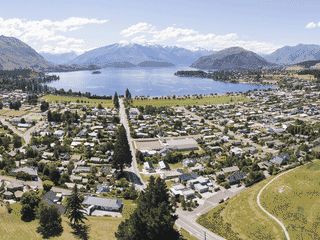
Twizel is Mackenzie Country's largest town and the primary service hub for visitors heading to Aoraki / Mount Cook National Park. The town emerged as a workers' settlement during hydroelectric power station construction on the Waitaki River, but today tourism drives the local economy.
Day Trips · Nature · Transit Hub · Trekking
Before you go
Activities
Twizel serves as a base for Mount Cook National Park, glacial lakes for water sports, and the 12-km Twizel River Trail for hiking and mountain biking.
Transport
State Highway 8 is the only highway through town. Pukaki Airport (TWZ) handles charter flights only. A rental car is recommended for exploring beyond the town center.
Weather
Mackenzie Basin has a continental climate—cold winters with snow, warm summers. Summer offers the best conditions for outdoor activities with extended daylight hours.