Overview
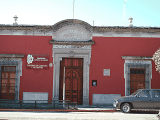
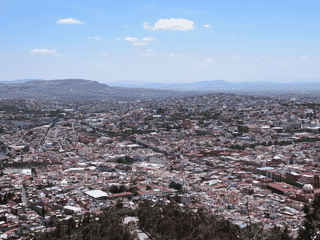
Sombrerete is a traditional colonial mining town of 25,000 people in Zacatecas, Mexico. Its historical centre is part of the UNESCO World Heritage Site "Royal Road of the Interior Land" (Camino Real de Tierra Adentro).
Architecture · Day Trips · History
Before you go
Connectivity
Limited connectivity information in article. Prepare for basic mobile coverage typical of small Mexican towns.
Culture
Sombrerete is one of Mexico's most traditional municipalities. Religious festivals and saints' days are celebrated with traditional dance, food, and carnival rides.
Money
No ATM at the Central de Autobuses bus station. Exchange currency or withdraw cash before arriving or use Zacatecas for banking services.
Transport
Buses connect Sombrerete with Zacatecas (M$600, 3h45m) and Durango (M$300, 75m). Downtown is walkable; taxis needed for National Park.
Weather
Cool climate year-round. Winters can drop to 0°C; July-August brings monsoon rains (750 mm). Pack layers for temperature swings.