Overview
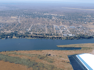
Nkasa Lupala (formerly Mamili National Park) is a stunning 320-km² swampland that has remained cut off from human populations due to its often inaccessible nature. As a wilderness experience, it has few equals in Namibia.
Budget Travel · Nature · Trekking · Wildlife
Before you go
Money
Park fees payable at MET offices in Katima Mulilo or Windhoek, or upon arrival. Cash or card may be accepted—confirm in advance.
Packing
Bring all-wheel drive vehicle, ample water, malaria prophylaxis, binoculars for birding, and all necessary supplies as facilities are limited in this remote park.
Safety
Malaria area. Take prophylaxis and use mosquito repellent. Beware of crocodiles in river channels. Travel with a guide in remote areas.
Transport
Access requires a 4x4 vehicle. Turn off B8 Trans-Caprivi Highway onto D3511 after Kongola Bridge. Nearest village is Sangwali in Wuparo Conservancy.
Weather
Best visited end of dry season (Oct-Nov) when wildlife concentrates around water. Wet season can flood access roads and tracks, particularly to Nkasa Island.