Overview
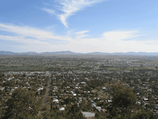
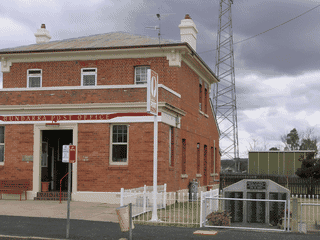
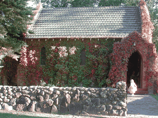
Manilla is a small rural town of about 2,550 residents in the New England region of New South Wales, situated at the junction of the Manilla River and Namoi River. Originally a Kamilaroi indigenous camping ground, the town developed in the 1850s as a supply point for bullock teams.
Budget Travel · Day Trips · Nature
Before you go
Accommodation
Accommodation options include two pubs, one motel, and two caravan parks in or near town. Free camping available at Split Rock Dam (24 km north) and Warrabah National Park (38 km northeast, bookings essential).
Activities
Manilla is known for paragliding and gliding at nearby Keepit Dam. Split Rock Dam and Keepit Dam offer water sports, fishing, and camping. Warrabah National Park provides free-entry bushwalking.
Emergency
Manilla Police Station at 64 Manilla Street. Manilla Hospital (Manilla Health Service) at 112 Court Street. No 24-hour pharmacy listed.
Money
Cash facilities include Regional Australia Bank at 168 Manilla Street (M W F 10AM-3PM), Bank@Post at Australia Post (M-F 9AM-5PM), and 24-hour ATMs at 168 and 192 Manilla Street.
Transport
No local taxis or buses exist in Manilla. Private transport is essential. Nearest rental cars and train station are in Tamworth (46 km south). Coach bookings at Manilla Newsagency.