Overview
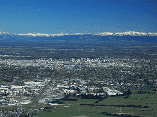
Lyttelton is the seaport satellite town of Christchurch, sitting in the caldera of an extinct volcano just over the Port Hills. Its steep streets give the town a distinctive European charm that contrasts sharply with flat Christchurch.
Day Trips · History
Before you go
Food
Saturday Farmers Market runs 10AM-1PM at the School grounds with fresh local produce, bread, coffee, honey, and cheeses.
History
The Timeball Station (rebuilt 2017-18 after 2011 earthquake damage) was originally built in 1876 to provide daily time signals. The town was established in the late 1840s as Christchurch's seaport.
Transport
Lyttelton is very hilly—walking is the best way to get around the compact town centre. Buses exist but distances are too short to make waiting worthwhile.
Water
Corsair Bay offers a sandy beach swimming option at the bottom of a steep-sided cove west of the port.