Overview
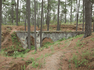
La Malinche National Park protects 45,711 hectares of pine forest surrounding the Malinche volcano, Mexico's 6th highest peak. The park offers excellent hiking and camping opportunities with fewer crowds than more famous Mexican parks.
Day Trips · Nature · Trekking
Before you go
Connectivity
Limited or no mobile phone coverage in the park's higher elevations. Connectivity available in Apizaco.
Money
Budget approximately M$40-60 for round-trip transport from Puebla. Cash only for colectivos and local purchases. No ATMs in the park area.
Packing
Bring all food, water (at least 2 liters per person), and supplies. No stores exist inside the park. Wear sturdy hiking boots.
Safety
Mountain weather changes rapidly. No emergency facilities inside park. Tell someone your hiking plans before entering.
Transport
Buses from Puebla CAPU station to Apizaco cost approximately M$20. Colectivos to the park leave from Av. Hidalgo and Av. Serdan in Apizaco for about M$20. First departures around 7am.