Overview
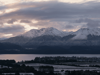
Fiordland National Park covers 12,607 km² of New Zealand's southwest corner, making it the country's largest national park. As a UNESCO World Heritage site with snow-capped mountains, ancient fiords, and one of New Zealand's wildest landscapes, it offers unparalleled wilderness experiences.
Day Trips · Nature · Trekking
Before you go
Connectivity
Limited cell coverage throughout the park. Check conditions and inform others of plans before entering backcountry areas.
Packing
Bring waterproof gear regardless of season. Great Walks like Milford Track require advance booking for huts; pack appropriate hiking equipment and supplies.
Safety
Inform park rangers of overnight plans in remote areas. Weather can turn dangerous quickly. Visitor centres provide current conditions and advice.
Transport
State Highway 94 connects Te Anau to Milford Sound; the 117 km drive takes up to two hours due to winding mountain roads. Other fiords remain inaccessible by road.
Weather
Weather changes rapidly within hours. Milford Sound receives 8,000 mm of annual rainfall (rainforest conditions) while Te Anau gets 1,200 mm. Always carry rain gear.