Overview
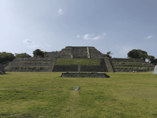
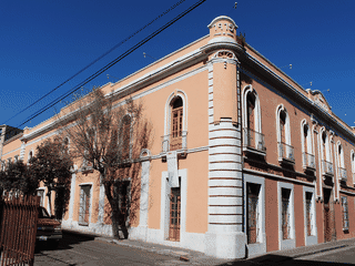
Tenancingo is a quiet colonial town (established 1551) southwest of Mexico City, known for its historic downtown churches, the enormous Cristo Rey statue atop Cerro de las Tres Marías, and traditional rebozo handcrafts made on backstrap and pedal looms since colonial times. The town serves as a gateway to Desierto del Carmen National Park and Hermenguildo Galeana natural park, offering hiking and paragliding against views of El Malinche volcano.
Architecture · Day Trips · Nature · Trekking
Before you go
Culture
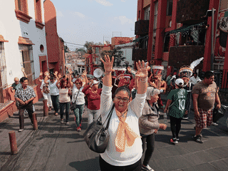
Tenancingo is known for traditional rebozo weaving and hosts an active religious community at Desierto del Carmen monastery. Dress modestly when visiting churches.
Money
Local currency is Mexican Peso (MXN). ATM availability in Tenancingo is limited; withdraw cash in Toluca before visiting if possible. Market vendors typically accept cash only.
Transport
Flecha Roja buses connect Tenancingo to Toluca (M$80, 40 min). Within town, taxis are the primary transport beyond walking. No public bus system within Tenancingo itself.
Weather
Tenancingo sits at elevation in Mexico State; dry season (November-March) brings clear skies ideal for hiking and paragliding. Wet season (June-September) can affect trail conditions.