Overview
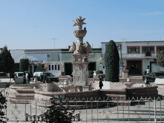
San Joaquín is a historic mining town in the Sierra Gorda mountains of Querétaro state, designated a Pueblo Mágico by Mexico's tourism ministry. The town dates back 15 centuries and was originally settled for cinnabar mining—used for red pigments in pre-Hispanic funerals and later for mercury extraction during Spanish colonial rule.
Festivals · History · Museums · Nature · Trekking
Before you go
Culture
San Joaquín celebrates traditional Huapango dance and music. The National Huapango Dance Competition in April and the Biggest Picnic in Latin America in August are major cultural events.
History
This 15-century-old mining town extracted cinnabar for red pigments in pre-Hispanic times and for mercury during Spanish colonial rule. Archaeological sites at Ranas and Toluquilla document this heritage.
Transport
San Joaquín requires a car to reach from major cities—2h15m from Querétaro, 3h from San Miguel de Allende. Once there, walking and local taxis are the main transport options.
Weather
The climate is semi-dry and fairly hot with an average annual temperature of 28°C. Bring sun protection and stay hydrated, especially when visiting outdoor attractions like waterfalls.