Overview
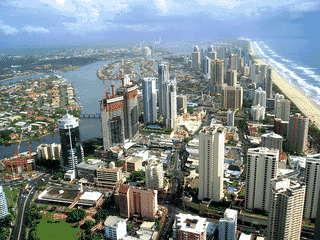
Numinbah Valley is a small rural community nestled in the Gold Coast Hinterland, known for its ancient Gondwana rainforests, cascading creeks, and dramatic mountain scenery. The valley sits between the Border Ranges and Springbrook plateau, offering a peaceful counterpoint to the beach-focused Gold Coast tourist strip 30 km away.
Day Trips · Nature · Trekking · Wildlife
Before you go
Connectivity
Mobile coverage is virtually nonexistent in the valley. Download offline maps and inform someone of your plans before entering the area.
Money
Cash is essential as most cafes and the camping ground are cash-only operations. The nearest ATM is in Nerang or Murwillumbah.
Packing
Bring all food and supplies from the Gold Coast. Flashlight essential for glow worm viewing. Warm layers even in summer for night-time outdoor activities.
Transport
No public transport serves Numinbah Valley. A private vehicle is essential—allow 45 minutes to 1 hour from Gold Coast CBD via Nerang-Murwillumbah Road.
Weather
Summer brings humidity and afternoon thunderstorms. Winter nights can drop below 10°C even in the valley. Flash flooding occurs in creeks during heavy rain.