Overview
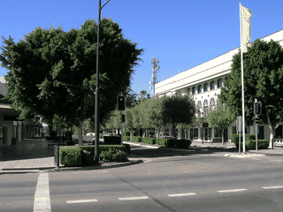
Mungindi is a curiosity: a town of 747 people that straddles the New South Wales-Queensland border with the Barwon River running through its middle. The name comes from the Kamilaroi language meaning 'waterhole in the river.' For travelers, it's a novelty stop where you can literally stand in two Australian states at once, with the border marked only by a humble post 8.5 km away rather than on the bridge itself.
History
Before you go
Emergency
NSW Police Station is at 250 St George Street (corner Mogul); Qld Police is at 49 Carnarvon Highway (just over the Barwon River bridge). Mungindi Hospital has 24-hour emergency department.
Money
Regional Australia Bank operates at the Mungindi Rural Transaction Centre (Tu-Th 10AM-3PM). Bank@Post at Australia Post (corner Walker and Moree Streets) handles Commonwealth, Westpac, and NAB transactions. Cashcard ATM available during business hours at the Rural Transaction Centre.
Time zones
Mungindi sits on the NSW-Queensland border. The NSW side observes AEDT (UTC+11) in summer, while the Queensland side stays on AEST (UTC+10) year-round. Hours listed as 'Queensland Time' follow UTC+10. Plan accordingly for appointments.
Transport
No public transport exists in Mungindi. Private vehicle is mandatory. Nearest car rental is in Moree, St George, or Goondiwindi—arrange before arriving.