Overview
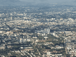
Mae Rim sits north of Chiang Mai along Road 107, serving as the gateway to the Samoeng Loop and the longer Mae Hong Son Loop. The area draws visitors to Queen Sirikit Botanic Garden (Thailand's oldest), the sticky Bua Tong Waterfall where you can climb the non-slippery limestone cascades, and multiple ethical elephant sanctuaries.
Day Trips · Nature · Trekking
Before you go
Culture
The area includes Karen villages and rural communities. Multiple ethical elephant sanctuaries offer alternatives to traditional camps.
Money
Use Thai baht. Cash is standard for smaller attractions and street food. Credit card accepted at larger resorts and organized tour operators.
Transport
Road 107 runs north-south through Mae Rim; Road 1096 heads west to Samoeng. Motorbike rental is the most flexible way to visit multiple attractions.
Weather
Cool season (Nov-Feb) is best for outdoor activities. Waterfalls and mountain roads can be slippery during rainy season (Jun-Oct).