Overview
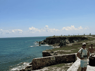
Guanahacabibes Peninsula National Park is Cuba's westernmost point, covering nearly 40,000 hectares of protected natural area. The park offers pristine white sand beaches where human visitors are rarely seen, over 100 lakes, and a series of small offshore islands and cays popular with scuba divers and naturalists.
Beach · Diving · Nature · Trekking
Before you go
Nature
UNESCO biosphere reserve with 40,000 hectares, 100+ lakes, white sand beaches, and offshore cays. Marine activities include diving and snorkeling.
Transport
Ómnibus Nacionales buses run twice weekly to Sandino. More frequent buses serve Pinar del Rio. Taxis or guides needed from either town to the park.
Weather
Best visited November to April during the dry season. Hurricane and tropical storm risk from late summer to early fall.