Overview
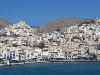
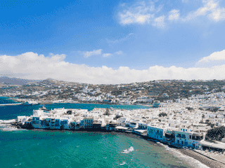
Andros is the northernmost and second-largest Cyclades island, yet far less visited than Mykonos or Santorini. Its mountains shelter fertile valleys with citrus groves, waterfalls, and natural springs — earning it ancient names like Hydroussa.
Beach · Culture · Festivals · History · Island
Before you go
Culture
Village panegyria (religious feast days) are central to local life — visitors are welcomed into homes for meals. Respect these traditions by dressing modestly near churches.
Money
Greece uses the euro (€). ATMs available in Gavrio, Chora Andros, and Batsi. Carry some cash for village tavernas and smaller establishments.
Safety
Mountain roads can be steep and winding — moped drivers should be experienced. Some remote beaches lack facilities; bring water and sun protection.
Transport
KTEL buses link major towns but schedules revolve around ferry arrivals. Rent a moped for flexibility — €20/day, with helmets required for two riders.
Weather
Mountains keep the interior cooler than coastal resorts. Spring (April-May) offers waterfalls and wildflowers; autumn suits hikers. Summers are hot with strong meltemi winds.